

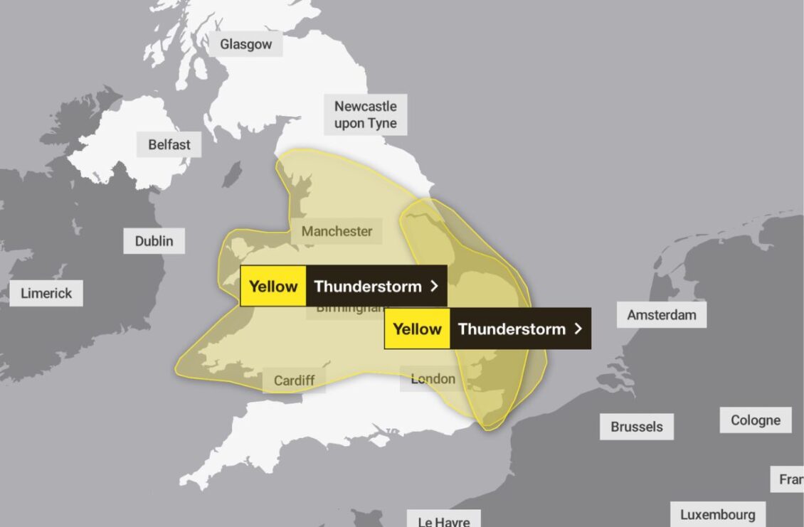
Heavy rain and thunderstorms are set to sweep north across Wales today, bringing a risk of localised flooding, lightning and hail.
The Met Office has issued a yellow weather warning for thunderstorms, which will remain in force until 10pm on Thursday.
A broad band of thunderstorms and heavy rain is expected to move north across England and Wales, potentially becoming slow-moving during the afternoon and evening.
Rainfall totals of between 20mm and 30mm could fall within an hour in some locations, while between 30mm and 40mm is expected fairly widely.
Some places could receive up to 50mm over 12 hours, with a small chance of more than 50mm falling within three hours and more than 75mm over 12 hours. The greatest rainfall totals are most likely over east-facing high ground.
Lightning and hailstones measuring between 1cm and 2cm could also pose hazards.
Heavy rain and thunderstorms will continue moving north through Wales during Thursday, with intense downpours potentially causing localised flooding. Some drier and brighter conditions are expected to spread into southern areas later in the day.
Despite the unsettled weather, temperatures could reach a maximum of 25°C.
Thursday evening will be mostly dry, with any remaining showers expected to ease overnight. Further showers will return during the early hours, mainly across southern Wales, with temperatures remaining mild and falling no lower than 11°C.
Friday will begin with showers in the south before further showers develop elsewhere during the afternoon. These will move eastwards, allowing some sunny spells to emerge.
It will continue to feel warm, with temperatures reaching a maximum of 23°C.
The unsettled conditions are expected to continue throughout the bank holiday weekend, with further showers and the possibility of more thunderstorms between Saturday and Monday.
Conditions will remain warm initially, but it will begin to feel fresher by Monday as winds shift to a westerly direction.
